Miami Beach Digital Historic Districts Project
Miami Beach Digital Historic Districts Project: Connecting databases and research projects enrich the public with the remarkable stories of people, buildings and the environment in Miami Beach’s historic neighborhoods.
The Miami Beach Digital Historic Districts Project (DHDP) seeks to create a responsive design website and series of public events around the use artificial intelligence (AI) to help the public understand the vast array of historical information about Miami Beach’s designated historic architectural districts. These districts have information available in a variety of digital archives dealing with the history of policy, design, the environment, and society. Our goal is to use machine learning, or the ability of the computer to make recommendations, to prototype a digital interface that synthesizes and makes legible the information of greatest interest and concern to members of the public utilizing the site.
Why Miami Beach’s Historic Districts? The City of Miami Beach is home to the first and largest collection of designated historic twentieth-century architectural districts in the United States. There are fourteen locally designated historic districts in the city, four districts on the National Register containing about 2,600 buildings, of which approximately 73% or 1,900 are considered contributing to the historic character of the place. The districts are rich in local, national and international social and political history, and include significant examples of twentieth-century architectural styles and planning. The stories of lives lived in these districts are rich and varied, revealing the history of architecture, of national movements of people and ideas, and of personal histories. These historic districts are also economic engines that support a high quality of life for residents, become an easily identifiable brand for the city, and are woven into important educational experiences for tourists. Located on some of the lowest-lying land in the United States, the Miami Beach historic districts also present some of the most challenging examples of historic preservation in the face of rising seas.
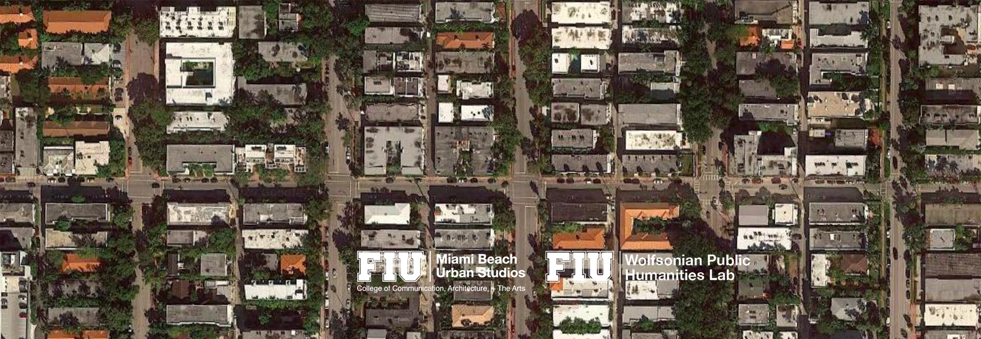
The DHDP pilot project will bring together global experts with existing digital resources to create rich tapestry of digital options and information focused on a manageable area of a few blocks of the Flamingo Park Historic District, one of the most significant historically and lowest-lying in the city. With the help of digital experts, the website will provide residents and visitors alike an opportunity to understand urban history in new ways. It will create a digital visual interface that will help people to understand visual similarities and differences among various buildings. Likewise, the Artificial Intelligence and Machine Learning components will help people to connect stories and details. In the context of an historic district, for example, DHDP will assist those who are looking for a specific quality, detail, building material or historical attribute, by pointing them to also consider “a” “b” and “c” options that share some of those qualities. We are familiar with this type of AI response algorithm from sites like Amazon and Zappos (“people how looked at this product also looked at this other product”). However, this will be one of the first uses of this type of AI on the level of urban history, architectural history, historic preservation, personal histories and resilience responses to climate change in historic architectural districts.
This project builds upon several existing local resources including the City of Miami Beach Digital Archives, a digitization partnership led by FIU History Professor Kenneth Lipartito, the Ecohumanities for Cities in Crisis Project led by former FIU History professor April Merleaux (with Kenneth Lipartito), FIU’s Sea Level Solutions Center’s “Eyes on the Rise” coordinated by Susan Jacobson and Kate MacMIllin, and the existing geospatial modelling of the South Florida area by members of FIU’s Geographic Information Systems (GIS) team. The project is supported by advisors from the Miami Design Preservation League, the primary repository of public information on Miami Beach for residents and tourists, and the City of Miami Beach Planning Department and public historians.
Project Principal Investigators and Advisory Board Members
Catherine Croft, Advisory Board Member, Director, Twentieth Century Society, London
Shamina de Gonzaga, Advisory Board Member, Executive Director, World Council of People for the United Nations
Rebecca Friedman, Advisory Board Member, Associate Professor of History and Director, Wolfsonian Public Humanities Lab
*Zhaohui Jennifer Fu, Co-Principal Investigator, Head, FIU GIS and Digital Collections Center
Carlos Fueyo, Advisory Board Member, Founder playard studios
Kenneth Lipartito, Advisory Board Member, FIU Professor of History
*Yucef Merhi, Principal Investigator, Curator of Digital Collections, The Wolfsonian-FIU
Anne Prestamo, Advisory Board Member, Dean of FIU Libraries
Jamie Rogers, Investigator, IT Assistant Director, FIU GIS and Digital Collections Center
Brian Schriner, Advisory Board Member, Dean, FIU College of Communication, Architecture + The Arts
John F. Stack, Jr., Advisory Board Member, Founding Dean, Steven J. Green School of International and Public Affairs
*John A. Stuart, Principal Investigator, Distinguished University Professor of Architecture and Associate Dean
Deborah Tackett, Advisory Board Member, Chief of Historic Preservation, Miami Beach Planning Department
Tiffany Troxler, Advisory Board Member, Environmental Scientist and Director of Science, FIU Sea Level Solutions Center
Mary Norman Woods, Advisory Board Member, Professor of Architectural History, Cornell University
For more information, please contact John Stuart at stuartj@fiu.edu.


